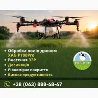
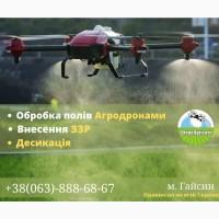
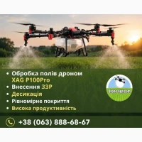
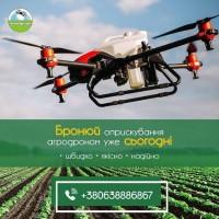
/ Services for agriculture / Agri-aviation / Rental of agricultural drones: desiccation, introduced fertilized...
I will provide a service
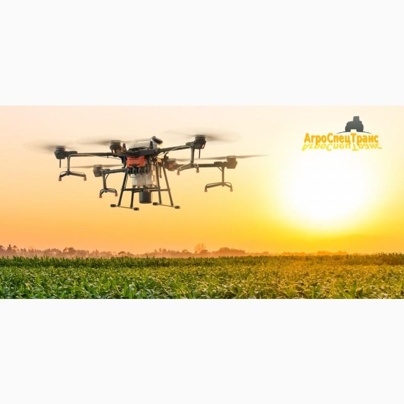
Rent of agricultural drones: desiccation, application of fertilizer, formation of maps, field survey, etc., Kyiv region.
Region:all of Ukraine,
Kyiv region.
Rental of agricultural drones: desiccation, fertilizer application, map formation, field survey and much more.
Our UAVs and drones make it possible to comprehensively processfarming crops with plant protection products, apply liquid mineraludrobreniya and trace elements, apply trichogram, and also desiccation. With the help of our agricultural drones, it is possible to calculate the vegetation index (NDVI), create a field map with high accuracy, forecast yield and determine the dynamics of changes in the state of crops.
The company has more than 20 drones (DJI Agras), which allows processing up to 2,000 hectares per day. An extensive list of equipment makes it possible to satisfy the needs of even the most demanding customer.(//tractor-service.com)
The main functions of agricultural drones:
• Research and analysis: formation of maps for applying fertilizers,herbicides, desiccation, weed development maps, NDVI maps, relief maps, field measurements. With the help of agricultural drones, it is possible to study the amount and density of plants, weed pollution, water availability and much more. Remote monitoring of fields allows accurate measurement of volumes, areas and elevated fields taking into account distorting conditions.
• Application of herbicides, fertilization, distribution of trichograms, etc. It flies as low as possible, consumes less resources than other aircraft. Minimizes human involvement, and also produces the most accurate spraying, practically eliminating the possibility of any miss.
Tel. 067 xxxxxx
Our UAVs and drones make it possible to comprehensively processfarming crops with plant protection products, apply liquid mineraludrobreniya and trace elements, apply trichogram, and also desiccation. With the help of our agricultural drones, it is possible to calculate the vegetation index (NDVI), create a field map with high accuracy, forecast yield and determine the dynamics of changes in the state of crops.
The company has more than 20 drones (DJI Agras), which allows processing up to 2,000 hectares per day. An extensive list of equipment makes it possible to satisfy the needs of even the most demanding customer.(//tractor-service.com)
The main functions of agricultural drones:
• Research and analysis: formation of maps for applying fertilizers,herbicides, desiccation, weed development maps, NDVI maps, relief maps, field measurements. With the help of agricultural drones, it is possible to study the amount and density of plants, weed pollution, water availability and much more. Remote monitoring of fields allows accurate measurement of volumes, areas and elevated fields taking into account distorting conditions.
• Application of herbicides, fertilization, distribution of trichograms, etc. It flies as low as possible, consumes less resources than other aircraft. Minimizes human involvement, and also produces the most accurate spraying, practically eliminating the possibility of any miss.
Tel. 067 xxxxxx
Ad ID: #1162271
(added by a registered user)
Permanent Ad Address:
Impressions / views for today: ?, total: ?
Similar recent ads
There are many interesting ones among them...