

I will provide a service
Non-contact soil analysis, Vinnytsia region.
Region:all of Ukraine,
Vinnytsia region.
(Vinnitsa, pr. Yunost, 10a)
After processing, you get 4 soil characteristics at a depth of up to 1 meter
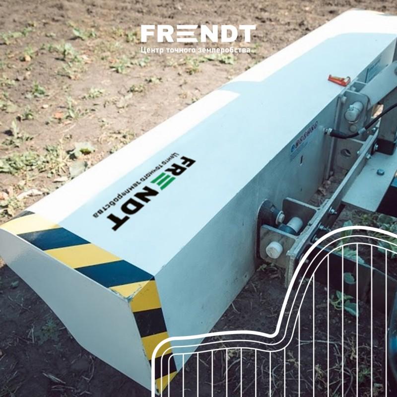
Topsoil Mapper measures soil compaction, which is one of the key factors in yield.
Based on the results of scanning for soil compaction and moisture content, we will immediately receive a map of the field and see problem areas, if any. We will also receive recommendations on plowing depth.
The cartographer of the surface soil layer defines:(//tractor-service.com)
soil density;
relative humidity;
modification;
soil loosening map.
The price is indicated for 1 hectare, but depends on the size of the field.
Topsoil Mapper measures soil compaction, which is one of the key factors in yield.
Based on the results of scanning for soil compaction and moisture content, we will immediately receive a map of the field and see problem areas, if any. We will also receive recommendations on plowing depth.
The cartographer of the surface soil layer defines:(//tractor-service.com)
soil density;
relative humidity;
modification;
soil loosening map.
The price is indicated for 1 hectare, but depends on the size of the field.
Ad ID: #1136666
(added by registered by the user)
Permanent Ad Address:
Impressions / views for today: ?, total: ?